Bing Maps Adds OSM, Taxi Fare, Looking Toward Street Slide
I don’t mention Bing Maps on here a whole lot, mostly because I rarely use it and being a Linux user Silverlight is a no-go. They’ve introduced a couple of interesting new features of late, with the coolest one coming some time down the road.
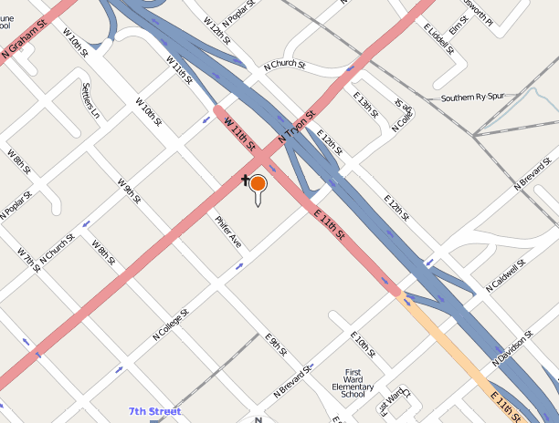
First they added OSM as a map layer, which you can see here. They took the OSM data, created tiles to fit their tiling scheme, and dropped in on Azure. It’s fast and it looks great. Unfortunately this seems to be a Silverlight-only feature. I’ve harped enough on the proprietary plugins breaking my Internets bit, so I’ll just summarize: DO NOT WANT.
Microsoft has a King of Bing Maps competition going on, and one of the entrants calculates taxi fare in major metropolitan areas. You can get to it here. The Ars reviewer found it to be spot-on.
The coolest thing they’ve talked about lately, however, isn’t out yet, and that’s Street Slide.
It’s basically a photosynthy-looking, kinda panoramic…well, just watch the video. It’s the most intuitive way to deliver street view type functionality I’ve seen yet (potential for motion sickness aside). Unfortunately this is still in the lab - you can’t try it out yourself yet, and they only did a small area in Seattle. Still, very cool stuff. It’ll probably be another Silverlight thing and hence go to the cool-but-not-very-useful bin I stick things like automatic corkscrews and 24-hour news channels in, but cool nonetheless.

